Moreno Valley Offers Free Training to Businesses and Residents
Moreno Valley Map Viewer
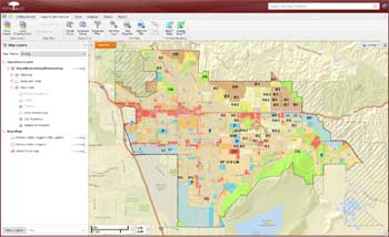
The City of Moreno Valley’s Geographic Information Systems (GIS) team is pleased to offer free training to our residents and businesses on the extensive features available with the official Moreno Valley Map Viewer, the City’s new Internet GIS website. This site, along with the Moreno Valley Mobile Map Viewer site, offers GIS functionality built on different platforms to provide maximum functionality to a wide variety of computing devices. The free training will focus on the use of the Moreno Valley Map Viewer, the more robust of the two sites, but the information provided will be useful regardless of which platform is used.
 A Geographic Information System compiles multiple data elements, often from many different sources, to provide important information in an easy-to-use format. With over 50 data layers, the new website uses the latest GIS technology, plus it features an improved toolset to provide City businesses and citizens with an intuitive, easy-to-use portal to critical spatial information.
Link to Moreno Valley Map Viewer
Link to Moreno Valley Mobile Map Viewer
Use the Moreno Valley Map Viewer site to:
- Access Over 63 Square Miles of 3” Resolution Aerial Photography
- Search by Street, Street Address, APN, or Tract
- Interface to Google Maps
- Create Mailing Label Lists
- Export Parcel Information
- Print customized Street Sweeping Schedules
- Generate Map Exhibits
Date: |
Saturday, February 1, 2014 |
Training will be “hands-on” so space is limited. Call today to reserve your seat.
For those who cannot attend on February 1st, the training will be videotaped and the video plus training materials will be posted to the website - www.moval.org.
To reserve your seat for this complimentary training on the City’s GIS program, contact Gina Gonzales, Senior Administrative Assistant, at 951.413.3410 or by email at ginago@moval.org.

